|
Penang Hills and Trails - Carla's Peak Part 1 |
|||||||||||||||||||||||||||||||||||||||||||||||
|
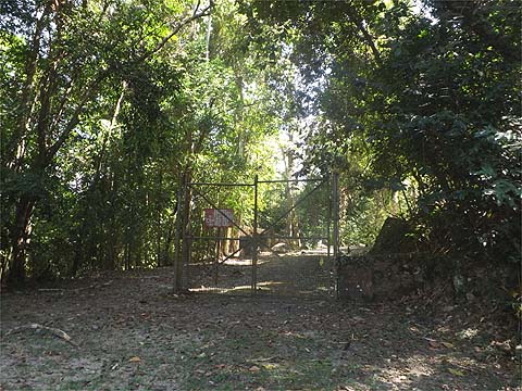
This is one of a series of pages on walking the hills of Penang, click here for the index. This is (reluctantly) a Grade 4 walk on account of the blockages encountered en route. There is a sketch map at the bottom showing the route followed. Please visit my Penang buses page for information on accessing the starting point. There are three other reports of visits made to this area about the same time which are worth reading to get a proper picture: The day before, not only had we made heavy weather of a visit to the Bukit Gemuruh ridge, we had encountered traffic problems coming home, so today which was Christmas Eve, we decided it was a good time to visit the hill behind our condo which is known as Carla's Peak. I had been up here a few times five years ago on my own, 'The Pipeline Trail' and 'Mount Pleasure' at a time when Yuehong would not have countenanced a visit. Yuehong asked how long the walk would take and I said "Three Hours" based on my previous hike here, so we chose to leave home after midday, a decision that nearly came to bite us. We left Mavis in Jalan Lembah Permai under a suitable tree for shade as it was a rather warm day. We went to the right at the PBA entrance, despite the sign no one seemed keen to register us. The gate was wide open and we passed the first of several 'Sungai Siru' catchment area signs, the whole of the Carla's Peak area to our right is so designated on one of my maps even though the stream that would run in this valley is the Sungai Kecil, the area to the left is designated for that catchment area.
Maps show a circular road here, that part inside the security area is well maintained, this part has been abandoned and while I made good progress along it some 5 years earlier, we now encountered blockage after blockage and it made for very slow progress.
Finally we came out in the open area at the back of the PBA installation, it had taken over an hour, which was ridiculous. I guess they hope leaving it like this will discourage the hashes.
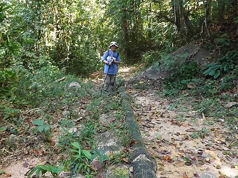
The path continues to the left behind the pile of pipes, and the first part is a mess with trees down although beyond is fine. There's an old iron water pipeline here, '1894' is clearly visible still.
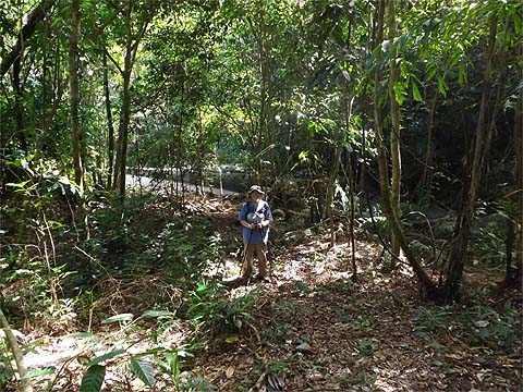
There's a small dam which feeds it, the amount of water taken must be the original 'drop in an ocean' as far as the PBA is concerned. The path we wanted went off to the right here, if we had needed reassurance then there was hash paper along it, I doubt many recreational walkers like us come this way now.
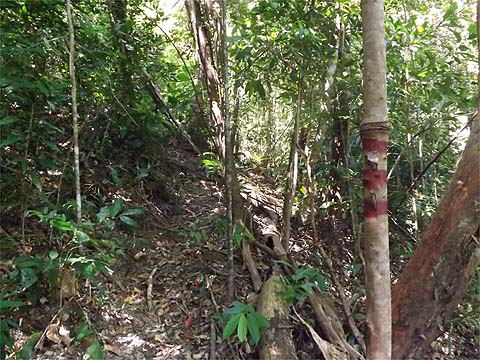
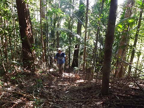
The red paint on the trees is a common feature in Penang, it seems to indicate some kind of boundary. Parts of this path are quite steep and at some stage plastic string has been tied, Yuehong is holding some but from the state of some of the anchor points, using it to climb up might be inadvisable.
We now made excellent progress but some 2½ hours had elapsed when we reached the 4 way junction which is a minor summit.
Now originally, I intended to continue upwards to the main peak (left) but that was now unrealistic. I had already used the path down on the right so we went straight ahead which would also take us down. It was open and recently well used with hash paper all around, much of it with 'BOMMY' on it. We didn't look but I assumed it had come down from the left.
It was probably less steep than the way we had come up and we dropped to a streambed which we crossed and climbed a bit.
Down we went again and we could see a larger stream, with a boulder wall, usually the sign that an area had previously been part of a rubber estate.
The paper now went left and started to climb, after 10 minutes I ordered a retreat, this was not what we wanted in the late afternoon. Next day, we would discover just how good a decision it was because it took us 3 hours to completion from this point when we were much less tired and we would have finished waterless and in the (near) dark... We had also been following the trusty blue plastic string seen elsewhere and this had now vanished so it was no surprise when we found a path just above the stream so decorated and we carefully followed it past a small waterfall feature.
In an open area, some campers had had a fire, not a good idea in a forest that can get very dry at certain times of the year.
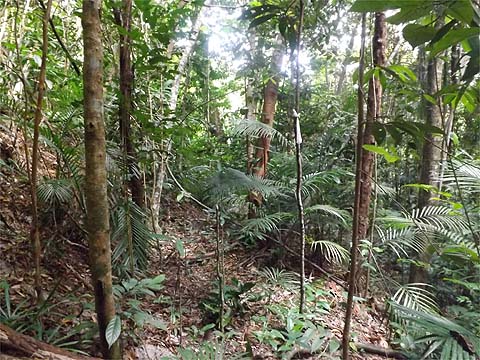
We continued on and for the most part now the path was good and almost level.
Suddenly we came on an art deco structure and a sign which proclaimed we were at the abstraction point from the Sungai Siru. I suppose there is a pipeline somewhere here but it wasn't apparent. It was a welcome sight as it was now past 17.00 and we had been going for 4 hours.
However, parts of the next section had suffered in the recent storms and it was once again slow going. At one stage, Yuehong had to call me back when her feet became trapped in in soggy mud from one landslip. Later she realised that her faithful water jar had vanished, presumably hooked from her backpack by a branch. Finally we could see tower blocks from our wide path above a quarried out hillside and an awkward descent brought us out next to the 'Leader Garden / Taman Leader' flats. The 'trespass' sign as always was a joke.
Of course, Mavis was 20 minutes walk away and by the time I had fetched it, the amount of traffic on the road dictated that we had to go straight to dinner without a clean up, something which worried Yuehong much more than it did me. This was not the preparation we needed for a second crack at the Bukit Gemuruh ridge and I was quite happy to accept Yuehong's suggestion that we return the next day to find out where the 'BOMMY' paper went to (and maybe retrieve her water jar too). Click here for Day 2.
|